Sunday, 8 April 2012

Climbing up t'Moors

Having ridden a hilly 80 miles towing along an enormous mountain biker the previous day (sorry Barry, that sounds like it was a chore - it certainly wasn't!) my legs were feeling pretty sore on Saturday morning. Needless to say, there was more faff involved in getting out of the house and up to the North Yorks Moors, but I eventually managed it and arrived in Helmsley about 10am. A town known for its biker congregations (the type that wear leather, not lycra), I did feel slightly out of place while getting changed into my kit on a side street. However the weather was that cold that I didn't really care at the time; it was just about getting as many clothes on is as little time as possible.

Setting off in the rain is never fun, but after a few miles I reached the familiar town of Ampleforth (the rival school to my alma mata) and also ran into a friendly (and very Yorkshire) fellow cyclist from Clifton CC. Riding and chatting along made the first ten miles whizz by, and my legs soon felt much better for just turning the pedals round. Even better, I was shown a shortcut to the base of my first climb, allowing me to knock a few miles off what I knew was going to be a tough ride (90+ miles and 7,000 feet of climbing, according to the route-mapping software). Arriving at the base of White Horse Hill, I instantly recognised the road from many walking trips and knew that I was in for a hard climb. Ramping up at 25% in several places, the surface was pretty gravelly and the amount of traffic made it difficult to get in to a rhythm. When I eventually reached the summit, I was steaming due to all of the extra layers and I needed to stop to let out some heat. Fortunately the reward for such a tough climb was a great view from the gliding club where they launch off the cliff-face, and a fantastic descent back down on the main road.
Top of the White Horse
After winding my way through some small villages, I came to the town of Boltby, and my next challenge - the ominous looking Boltby Bank. As you exit the village, the road kicks up and up in the distance, pretty much in a straight line, and looking incredibly steep all the way. This climb certainly didn't disappoint, and had me crawling up as a set of mountain-bikers came past in their tiny car, engine whinning under the strain. Just as I was about to get off and walk, the summit came into view, and a final push had me over the worst of it. Unfortunately, to keep face in the presence of the enemy, I was forced to keep pedalling past the carpark where the mtb-ers had stopped, in order not to look ruffled by the 'bump' in the road. However, as soon as they were out of sight I stopped and rewarded myself with a peanut butter Clif bar in the snow on the roadside. Pathetic, I know, but these things run deep...
Boltby Bank looking much easier than it was

For perfection, just add Clif Bar
After this, my legs were feeling fairly shot, so I tried to spin on in a smaller gear to revive them slightly. This wasn't 100% successful as the route essentially crossed the moors (which aren't flat)  so the changes in terrain made it hard to get into a regular rhythm or provide any restbite. After finally reaching Osmotherly and the main road skirting around to the North, I was feeling very tired, and already harbouring thoughts of jacking the ride in early at Helmsley (the planned route was a figure of eight which went past where I had left the car), purely to avoid the Rosedale Chimney. There was, however, the small issue of making the next 25 miles back to the car at the very least, so I necked a gel and promised myself solid food at the next town - Carlton-in-Cleveland. Disappointingly, this was a much smaller town that I had expected, and I was forced to carry on up the hill out of the other side, Carlton Bank. Anything that paragliders jump off to catch thermals counts as a steep hill in my book, so judging by the number that I could see in the sky ahead of me, Carlton Bank was going to be a hard hill. In retrospect, it probably was the easiest 'categorised' climb of the day (the nature of these rides is that there are any number of hills between the ones listed in the book, but these don't get a mention). The difficulty of any given hill is a hugely personal issue and depends entirely on your state of mind and body at the time. Unfortunately for me, both mind and body were at an all-time low, so Carlton Bank was a bit of an effort to say the least!
Carlton Bank
I took the main Moors road back to Helmsley, bisecting the hills for the most part and making a good compromise of extra traffic for less gradient. By the time I got back into the main square, I was absolutley ravenous and devoured a hot roast pork sandwich which tasted like the best thing on earth at the time. In some respects, I was lucky that I was riding by myself that day, because if I was with anyone else I probably would have talked them into finishing the ride there and then - after all, 60 miles and 3 of the 100 climbs isn't bad for a day's work! I knew that I had another 30 miles to go, and the hardest hill yet to come, but somehow the combination of Coke, pork and willpower kicked in and I soon found myself back on the bike and heading over to Rosedale.
Very persuasive
The ride over seemed much longer than I expected, and filled with thoughts of how daunting a climb it was going to be. The Chimney comes with all sorts of tall tales in the cyclists' world - anything that's 1 in 3 for many parts of the way up, and which is unmanegable in all but fine weather conditions, makes for fine folklore. So it's fair to say that after 15 miles of wondering just how hard the climb was going to be, I was almost happy to finally turn off the road to the base of the climb, having seen the ascent from some distance away. All-in-all, it was an incredibly tough road to ride up, but not the longest, and with forgiving hairpins which allowed for at least some let up in the gradients. After that, it was just a case of gritting your teeth and pushing on to the top - walking up in cleats would probably have been just as hard anyway... There weren't many people round, but the sheep did seem to take quite an interest in watching people suffer up the hill - maybe this was just the fatigue kicking in but it did feel like that were staring at me!
Not exactly inviting

Stunning views from the top of the Rosedale Chimney
Off the top was a much more gentle, but dead straight, descent down into the fantastically named village of Hutton-le-hole (just the right amount of 'Frenchness' added to spice up what would otherwise be a pretty derogatory name). Then it was back into Helmsley, and time to recover with a slap up pub meal and few of the micro-brewery's finest recovery beer - a great tonic for any would-be athletes.

Yarrrkshyre Hills

A quick drive up to York after work on Thursday saw Selene and I up to my parents to stay for the Easter weekend. It had been a busy week, and the planning for the weekends' rides had been minimal to none. However, determined to make the most of non-rainy weather and proximity to more hills, I dragged myself out of bed at 7am on Good Friday and hit the computer to start mapping out the routes. After a lot of faff - planning, eating and getting everyone out of bed - it was decided that Barry and I would head out to Pately Bridge to ride up Greenhow Hill, before heading over to Otley to meet the rest of the family for lunch.

Setting off towards the towering dark skies and into a block headwind, the ride was starting to look like a bad idea even from the outset. Even worse, Barry casually mentioned that this would be his longest road ride of all time (he's a dyed-in-the-wool member of the hairy legs brigade) and that the wheels on his bike that he had just built up the week before didn't appear to like staying in true (fortunately Barry is also a bit of a bike wizard, having worked for a long time in a bike shop). Pushing on with fresh legs, we raced each other over my home training roads before getting deeper into the Yorkshire Dales and roads that I was less familiar with. We had been climbing up for some time, and we soon emerged around the back of Brimham rocks (where I spent lots of my time when I was younger, clambering over the ancient rocks) only to find that a couple of the spokes on Barry's wheel had loosened themselves off and were clanging all over the place.
Spot the mechanic
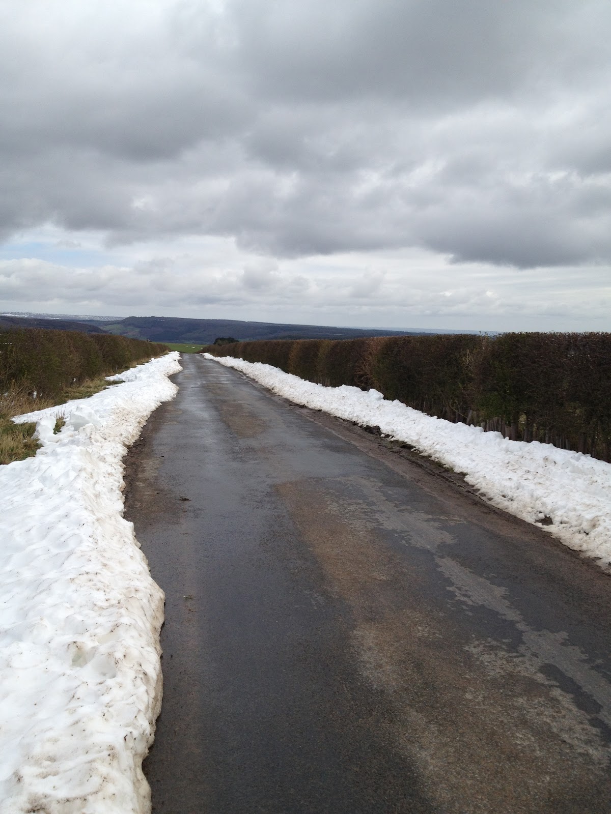
A quick fiddle with a spoke key and we were on our way again (great skills - a broken spoke with the usual Surrey gang would normally result in twisting it around the rest of the spokes and limping home with a dinged wheel). It was clear that we were on the tops of the Dales, and there was still a lot of snow around, although fortunately the roads had all been ploughed so there was nothing to trouble a set of skinny tyres. This did mean that the sawtooth profile of the ride was about to come into play, as we basically descended off the tops of the hills, into Pately Bridge, and straight back up the other side to the same height we had started at. In between us and our distination in Otley was Greenhow Hill - described in the book at equally divided into four segments. This was a 100% accurate reading of what it was like to ride the hill, which almost seemed to have 3 false summits which tailed off to 3/4% before quickly kicking back up into the twenties again. That said, it was a great hill to ride up as it felt like a proper accomplishment to get to the top at a reasonable pace, and meant that we climbed a long way up without having to hit super hard gradients.
Finally summiting Greenhow
 A quick stop established that the headwind had put us behind schedule (we had arrange to meet the rest of the family in Otley for lunch at 1) so we pushed on without remorse for the terrain. Barry was beginning to suffer with the extra distance, but the thought of food kept him going as we eventually descended down off the tops and into the town where we found the Yum cafe - a hungry cyclist's version of heaven. Several ham and cheese paninis later (plus cake for everyone except me) and we were ready to go.
Support CREW!
Only the finest china at Yum
Probably shouldn't make a habit of doing this in public
 Out of Otley was pretty much straight up the climb of Norwood Edge. Another one you can see coming from a distance, it has an Alpine feel to it with gradients only getting up to the high teens, and pine forests on either side.
Dragging our bellies to the top of Norwood.
After that, the rest of the ride home was fairly pleasant, largely downhill and on good roads. One noteable exception was the town of Harrogate, which is very well to-do, but filled with awful and hugely inconsiderate drivers. For all the wealth in the town, people seemed to be driving really crap cars, and had little regard for cyclists at all - Barry was nearly killed turning off a roundabout by a woman oblivious to his presence (despite the bright red jersey and the fact is 6'3" and shouting his head off), and quickly after we were nearly mowed down by a family car overtaking when it was obvious he wouldn't have enough space to get around the traffic islands. Fortunately, we made it in one peice and arrived home to devour everything in sight (well, some of us did...)


The Three Counties Ride

An early morning start called for this ride, as we had to travel out to Princes Risborough before setting off. Meeting Rich at 6.15(ish), we cycled through the deadly quiet City before meeting Paul who was sat serenely in the middle of Marylebone station (on a bench - I don't think he makes a habit of sitting on floors). I had booked us on to the 7a.m. train, and as we had arrived at 6.50, Paul and Rich decided to grab some breakfast. Nothing much was open, but they made do with tea and paninis - leaving Paul wheeling two bikes and Rich with his arms full of supplies. Needless to say, getting through the ticket gate was a palaver and, as we found out, Platform 6 is quite a way from the gates. With thirty seconds before the train was about to set off, and the conductor shouting at us to hurry up, I think we made quite a sight as we were made to hurriedly clip-clopped to the far end of the train -especially for the drunkards heading back from an all-nighter in town. Fortunately the rest of the journey was less eventful, allowing Paul to regale us with tales of his local supermarket and Rich to get rid of his hangover. We met Clive in the station carpark, and promptly set to work putting his bike together (well, Rich and Paul did - I took pictures and offered verbal encouragement)
The route took us straight up the climb of Whiteleaf - a 6 out of 10 on the Warren Scale - and we could see the climb right from the start, rising out of the landscape like a very pretty pimple. It was a cold day (typical - the whole week, while stuck in the office, was brilliant sunshine) but this climb got us warmed up quickly as it kicked up from the main road out of town. Not especially hard, it was very picturesque as it wound up through woodland before emerging out in to the tops of the Chilterns.
The Whiteleaf 'pimple'
The ride from here headed South, through constantly rolling countryside, making for fairly slow progress. This probably wasn't helped - once again - by Google Map's assertion that minor B roads are the same as bridleways, gravel tracks and other not-suitable-for-skinny-tyre surfaces. That said, the inclusion of some pavé (and gravé) was apt given that the pros were riding the infamous cobbles of the Tour of Flanders the next day.
Oxfordshire's finest
Weaving through delightfully pretty villages (which, almost to a tee, all had fantastic looking pubs, a myriad of thatched roofs, and a cricket square), we made our way down Southwards to Streatley and ran into a bunch of beardy-audaxers, including a chap who looked like he had packed a rather large picnic in his panniers - the sort that contains a set of deckchairs, a large blanket, wicker hamper etc etc. Streatley Hill was a lovely little climb with just enough steep and flatter bits to keep up plenty of momentum


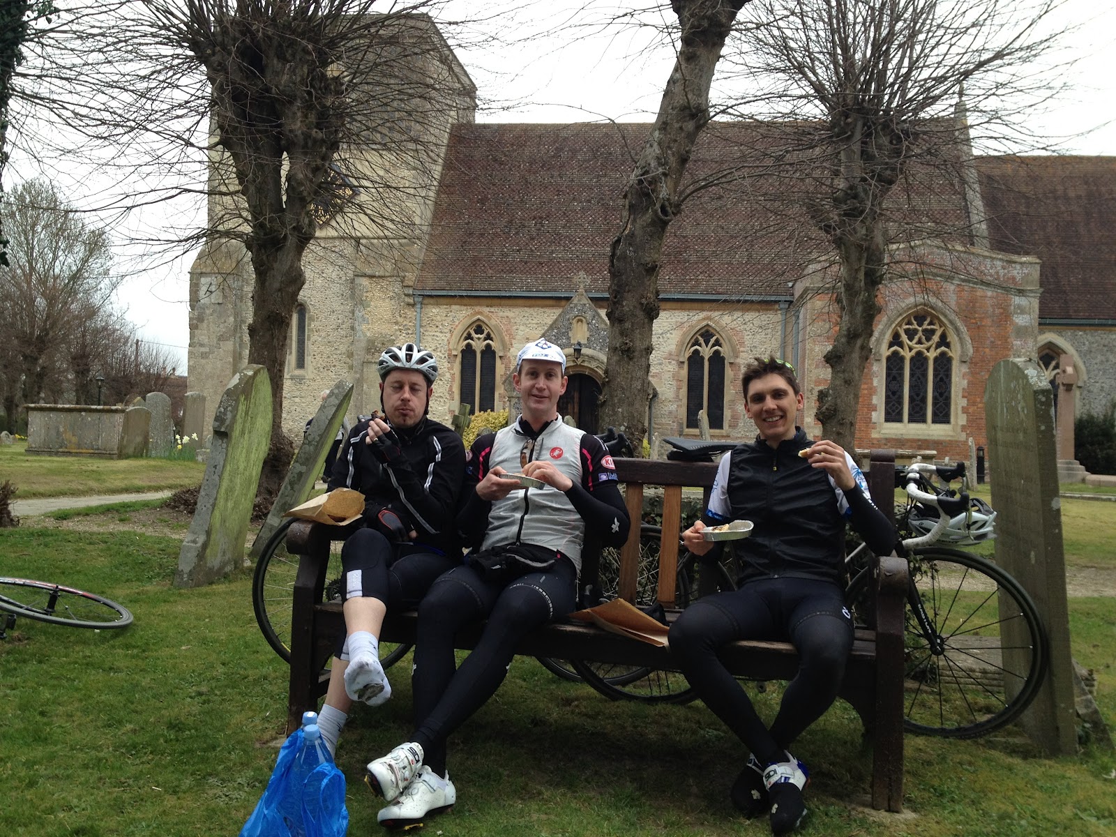
With rumbling stomachs, we pressed on to the village of Kintbury, where we fell upon a local artisan baker, who was probably as surprised to see us as we were to see him. Nevertheless we secured what seemed to be his entire stock of quiche (plus chocolate coated flapjacks for those who hadn't given up cake for Lent) and tottled over to the local church where there was an empty bench in the graveyard. Eating between gravestones was a unique venue for a picnic, but it was still delicious and the local congregation were no doubt entertained as we gorged and giggled our way through large quantities of food.
Manna from heaven (eaten in God's house)

Three men on a bench

Proof that I did exist on this ride
It wasn't far after our picnic stop that we hit Coombe Gibbet. A climb that you can see coming from some distance away, it rises up a ridge and looks formidable to the approaching cyclist. From the perspective shown in the photo, Rich does somewhat dwarf the climb, but I can assure the reader that it was harder than it looked. However, again a smooth surface and great views back over the valley made it another fantastic climb, well worth its place in the book.


With just over 70 miles gone (and all the major climbs done), spirits were high and we rode on at a decent pace, back through Newbury and alongside the M4. Soon, however, the headwind and remaining distance took their toll and the pace dropped, making the rolling coutryside seem like hard work. I had forewarned everyone about the length of the ride (estimated at 110 miles), but as the miles racked up, it seemed like some people (Clive) were counting down the distance to the end of the ride. Now this is a fantastic strategy in a race, where you need to time your effort to perfection to make sure you arrive at the finish line having spent all of your energy on the course. However on a ride where the exact distance is yet to be determined, it can have negative consequences. At around mile 108, we went past a road sign declaring Princes Risborough to be 11 miles away, which did not go down so well with Clive at all. Almost immediately after passing the sign he turned to me and asked "Is that true?" before insisting on an immediate 'stretch' stop on the side of the road. After some under-the-breath grumbling, he shot off in the same manner he had done after riding over Exmoor a few weeks back (think Cancellara on several cans of Red Bull), leaving the rest of us trailing in his wake with tired legs and resigned to seeing him again in the carpark.

Fortunately, it wasn't too tough an 11 miles and we made it back to the station just in time to catch the next train to London (with even enough time to raid Clive's recovery snacks box and take a picture in the carriage). The overall ride (including too and from Marylebone) worked out to be 124 miles, so we were understandably tired, and probably smelly enough to put off the rugby fans who piled on to the train at Wembley as the Scaracens match finished...

All in all a fantastic ride with good mates, making for a perfect way to rack up a decent century (and a quarter).
Pooped

Wednesday, 28 March 2012

Dartmoor

After a few days R'n'R in Hayle (we're talking long walks, a 50 mile ride with Selene to Lands End, and generally gorging on great food), the time had come to get back into the saddle and finish off the climbs in the South West - this meant a ride from Tavistock to Sidmouth, crossing Dartmoor and finishing up on the South coast.
Eating the monster from the deep
- yes, lobster does make you go faster
We had been watching the weather forecast intently to try and pick the best day for the ride - so waking up to a freezing cold spring morning, with views of thick fog wasn't exactly what we had in mind. The drive up and over Bodmin was so foggy that progress was slow, and I wasn't particularly excited about the prospect of my tiny LED lights being the things keeping motorists from ploughing me down on the highway. On arrival, the usual 'get changed in a public carpark' routine kicked in - once again, putting on leg-warmers (or, as Selene refers to them, 'lyrca suspenders') when you're a lone cyclist amongst a bunch of 'normals' is an undignified process. But we soldier on...

Straight out of Tavistock was the road into Dartmoor, and instantly the road kicked up the Rundlestone climb. A strange beast, this is rated 7/10 by Simon Warren, and probably would be a killer climb if it didn't have a strange descent in the middle of it. I had forgotten this part of the profile map, so reaching the first 'summit' thought that the climb was over. After a short downhill section, the road went upwards again in a similar manner - again, nothing too difficult although I could have done without the headwind.
A slightly exaggerated view of what a
Dartmoor pony looks like


The view from the top of Rundlestone
After the first climb, the road headed generally down which offered a great opportunity to admire the views and the wildlife - in particular one intriguing specimen which appeared to be a cross between a sheep and a pony:
Sheep (left) and horsey-sheepy (right)
Unfortunately, all to soon the fog closed in over the tops, and I was plunged into visibility of less than 10m. Not ideal conditions to be cycling in, but fortunately the earlier sun had warmed the air up enough that it wasn't freezing as well as foggy. Before the next climb (Dartmeet), I did stop to take a picture, although I didn't check it and I think it came out a little on the drunken side of clear, making it look even more dense than it was:
Foggy, but not that foggy
Climbing Dartmeet in the fog was an experience. With no way to tell what lay ahead, it was a shock to run off the descent, over a cattle grid, and straight into a 20% climb - my gears certainly weren't prepared for that shock (climbing those kind of gradients in 53x12 is not recommended). Somehow the fog makes everything still, and going uphill felt like climbing in a bubble, making me very aware of my breathing and every squeak and creak from my bike. It also meant that I couldn't see up any of the turns up the climb, making it hard to gauge my effort, so I ended up pushing fairly hard throughout.

After Dartmeet, there was only a small distance to cover before reaching the pretty village of Widecombe, complete with over-size church and inviting-looking cake shop. Unfortunately, cake is on the 'banned' list for Lent so I pushed on up the 7/10 rated Widecombe climb. Similar to Rundlestone, this was fairly manageable once out of the the saddle and in the right gear - with the added bonus of being arrow straight, and with great views both up and down. I had agreed to meet Selene at the top for a bite of lunch so I set down in the car park waiting for her arrival. Unfortunately, Selene had been held up by the driver in front of her carelessly running over some livestock (the animal was unidentified, but apparently it was too big to be a sheep and to small to be a horse - I can only home that the horesey-sheepy I had spotted earlier hadn't thrown himself in front of a car in a fit of angst at his lack of identity). There is very little mobile signal in the middle of Dartmoor, so after around 20 minutes of waiting with no clue as to the hold-up, the car emerged over the brow of the hill and I jumped in to warm up and chow down on some delicious Tavistock market food.
Instagram view from the top of Widecombe

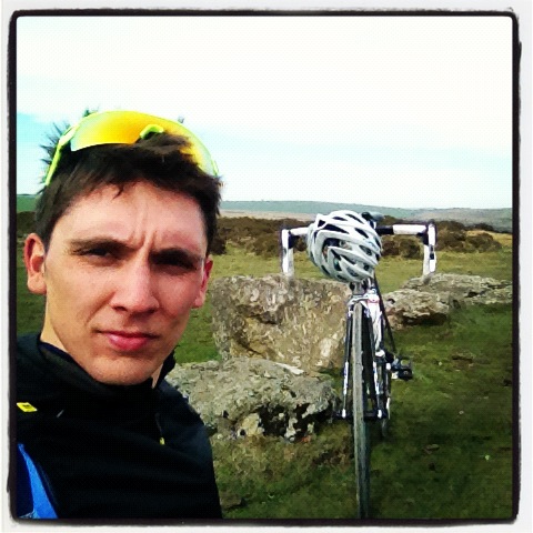
Undignified instagram self-portrait. Smile, man!

Happy campers

Slightly reluctant to get out of the warm, food-loaded car
Having eating my body weight in fresh olive and sun-dried tomato bread (plus the odd gingerbread man - thanks Selene!), it was lucky that the road from Widecombe was downhill all the way out of Dartmoor, allowing me to use my additional temporary bulk to shoot down at over 40mph. Looping around the moor to Bovey Tracey (this wasn't the wimps way out, rather that the next climb was going in the opposite direction to my destination), the next climb was the longest of the day, but turned out to be by far the easiest: the 5/10 rate Haytor Vale. In blue skies and with the wind at my back, I sailed up the climb without too much of an issue, pausing at the top to take a picture before turning round and heading back off the moor again.
View from the top of Haytor
(conveniently the rest of the hill has been obscured...)
With Dartmoor 'conquered' (crossing Exmoor seemed like a more challenging task than Dartmoor, but that conception might have had something to do with the road and weather conditions), and four of the five 'categorised' climbs for the day done, I headed towards Exeter in high spirits. Again, I had neglected to look closely at the route profile for this section of the ride, and paid the price for optimism as I grinded up the hills of the Old Exeter road towards the town of Clapham. Finally getting into Exeter, I emerged from an innocuous-looking industrial estate into the lovely River Exe park - equipped with traffic-free bike lanes and a great way to traverse the city. Rolling down my armwarmers and packing away my gillet to bask in the afternoon sunshine, it was lovely to roll through the green space nodding 'hello' to other cyclists.

The road out of the city down the coast wasn't so pleasant, being narrow and very busy with cars - climbing gradually again before descending into Otterton (which has a disappointing lack of otters, despite the name). Another sharp surprise hill sent me way up above the town of Sidmouth with a view across to the final hill up the opposite cliffs. After an extremely short and sharp descent into Sidmouth, dodging OAP drivers, I ended up lacing through the town going the wrong way up one-way streets as my Garmin demonstrated once again that it's not the best for town-based riding. Finally making it to the base of Salcombe Hill Road, the last push up the climb was again a tough one (rated 5/10, but in my opinion significantly harder than Haytor Vale). Rising up through dappled forest and past an observatory, there was plenty to distract me from the gradient, and 10 minutes later I emerged over the brow of the hill, where Selene had walked up to. A quick smooch (not sure she appreciated my salt-encrusted face, but I enjoyed it!) and I headed back down to the car for the 'get changed in a car park' routine again. Oh the cycles of life...
Top of Salcombe - with bare arms in March!
Recovery picnic on the seafront


Monday, 26 March 2012

The Day After The Day Before

After a pub lasagna and chips (a heady combination of cheese, mince and potato) plus a pint of the local bitter, it's fair to say that the previous day's activities had me sparked out, and the next morning saw heavy legs for the short trip downstairs to breakfast. Having given up coffee and cake for Lent (extra difficult, considering these are a cyclist's staple), I had to make do with putting on wet shoes from the day before as my morning 'jolt' - although a god-sent airing cupboard meant that a lot of my kit was dry, if not a little gritty from the previous day's roads.

If you have read the previous entry, you'll know that the weather meant that the climb of Crewcombe Coombe was impossible, and so with a stomach still brimming with fried breakfast I set off to tick that one off the list. Conscious sated and ego soothed, I headed back to the B&B to meet to with Clive for the day's ride across Exmoor. From the outset we knew that it was going to be a hard ride, and in Exmoor the road never flattens out. After coming through several showers and dipping down to the coastal town of Watchet and returning back to the busy A39, we turned off towards Luccombe and the hills of Exmoor-proper. The first hill was Dunkery Beacon, which started as a lovely climb through the forest before plateauing out and then kicking back up towards the bleak top of the moor. On the way up, I came across this chap who I chatted to briefly - if you watch the video you can see me at about 2.25, and let's just say I was envious of all of his gears especially on the steep bits towards the top of the hill!
Clive getting to the top of Dunkery
The fabulous descent off the back of Dunkery was curtailed by a steep turn and another couple of climbs (this time 'uncategorised') as we looped around back to the town of Porlock. It was clear that the previous day's efforts had taken their toll, and neither of us had the same 'snap' in our legs - Clive was doing especially well, given that he had been off the bike after an operation for the previous two weeks. Looking at the route map, I had worked out the last climb on that loop, and could see that the rest of the distance to Porlock (where we planned to stop for a Coke - the Red Ambulance) was downhill. Unfortunately, as a crucial turning point, I decided to follow the road sign to Porlock and to ignore the GPS' screaming that this was the wrong way. This meant that, rather than emerging on the A39 in the village of Porlock, we emerged a couple of miles further West and had to descend the climb before turning around to go back up it. This was something of a double-edged sword, as on one hand it was a preview of the steepest and hardest climb of the day, but on the other it did mean that we could enjoy a screaming descent down an absolutely mental road.

Reaching the village at the bottom after topping out at nearly 50mph, it soon became clear that nothing was open on a Sunday, so we turned around and headed straight back up. Porlock is a hill to be taken seriously - so seriously that it offers all who dare to climb it an alternative route (via a toll booth, naturally). Heading past the first hairpin (with the smell of burning clutches hanging heavy in the air), the climb just keeps on dishing out the pain with long stretches of 20+% before 'flatting out' to a mere 13% to the top. Fortunately for us, Selene had the forethought to buy up the last remaining sandwiches in Porlock before the shops closed, and we sat under the boot of the car stuffing our semi-traumatised faces to bring us back down to Earth.
Climbing Porlock - so slowly that Selene could take multiple exposures
Clive executing a perfect zig-zag climb manoeuvre in an attempt to reduce the gradient
Turning back off the A39 and into Exmoor, we descended back to the muddy farm tracks of Exmoor, before climbing up yet again, and then descending into Lynmouth. If this sounds like a rollercoaster, that's exactly what it felt like, with the requisite highs and lows. For inspiration, we had repeatedly passed a couple - clearly touring - on regular road bikes and all of their wares in large bags on their backs. Coming up Porlock the girl was going strong and way ahead of her partner, despite carrying an equal size bag and was powering away strong when we passed them again on the descent.

Our penultimate climb was the 'Exmoor Forest' out of Lynmouth - a measly 3/10 and really gentle compared to Dunkery, Porlock and Crewcombe. The gradient probablt didn't get above 10% for the entire length and the sun had even come out so we were able to enjoy the meandering views over the ravine below. Reaching the top (and the highest point in Exmoor apparently) we had a quick pow-wow with Selene in the team car and then pushed on for our final destination on the coast.
Talking tactics
The gradual descent from the top of Exmoor to Woolacombe was interspersed with short and speed-reducing kicks up, and we were also greeted by worsening weather. Stopping to put our wet weather gear on (a rain jacket for me, a DHL delivery packet for Clive), it was clear that Clive had had enough for the day. As we set off, a tractor came past and we picked up the pace to try and draft it for a while. We didn't make the tractor (which probably tells you something about the state of our legs by then) but at the end of his tether, Clive simply kept his foot on the gas and the remaining five-odd miles were done at breakneck speed - including a hair-raising descent down to the sea on wet roads. I'm not sure whether he knew it at the time, but the ride was due to end with the last climb of the day: Challacombe Hill, which goes from sea level to 700 feet in less than half a mile. To say that this hill was painful would be an understatement, and at the time it felt like the hardest hill of the day. To varying degrees of success (one of us fell over, naming no names) we zig-zagged across the gradient at a snails pace before reaching the top, gasping for oxygen.

After that it was a case of get changed, repack the car, drive to Tiverton to drop Clive off on the train, and then drive down to Hayle. The perfect recovery activities! Let's just say that not many of the snacks in the car made it to the end of the drive...
Clive on his last legs

Finally reaching the top of Challacombe

The epic

Rising early on a Saturday morning is not alien to me, but to be driving around the lanes of Surrey at 6a.m. it did feel strange to not be on two wheels. Nevertheless, Selene and I had loaded up the car after a long week at work and driven across London to pick up Clive from his place in Chertsey. After a boisterously friendly welcome from Rooney (his Jack Russel, who looked disappointed not to be joining the trip), and squeezing a third bike into an already jam-packed boot, we set off on the drive to Bath. Selene very quickly lapsed into her usual car mode (eyelid-inspecting), and after a quick stop at a service station to fuel up on breakfast, we arrived in a leisure centre car park in the middle of Bath.

Unpacking the bikes got us a few funny looks from the parents dropping their kids off for swimming lessons, but this was nothing compared to the stares and stifled giggles that came from the waiting area when two gents emerged from the changing rooms in full lyrca and tottled out, trying their best to walk on cleats. Cyclists really don't look normal without a bike.

Ready for the day - or so we thought...
After several false starts, trying to work out exactly which way the GPS wanted to take us (they really aren't made for city navigation - trying to negotiate traffic while simultaneously also trying to look at the computer mounted on your stem is a recipe for going head first through the back window of a car) we made it to the base of Weston Hill. Rising out of the suburbs of the city, it starts innocuously enough but then gets steeper and steeper until your legs are screaming for the summit. It's on a busy road out of town, and the noise of car engines in first gear help amplify the magnitude of the hill, if taking something away from the views when you do reach the top. Even if those views do give you an idea of what the weather was going to offer that day...
Clive summiting Weston Hill
Heart rate to 180bpm, 20% gradients and 700 feet of climbing: all in the first 4 miles. What a way to warm up the legs. Descending back into Bath (Weston climbs up North, and we were heading South) we soon hit the small lanes of Somerset and soon discovered that this was truly farming country. Road surfaces were terrible, and also covered in mud, which was manageable until we came to a dairy farm which had decided that the road a mile either side of the farm entrance would make an ideal slurry pit. With liquid cow shit several inches deep covering the tarmac, we had little choice put to push through, wheels slipping all over the place and just praying that we didn't end up on the floor - the next 90 miles would not have been pleasant...Needless to say, when we emerged on the other side, our bikes and kit were an absolute state, including having almost zero brake function thanks to the strange properties of the muck which made it both incredibly sticky and slippery at the same time. The picture (or the under-stated road sign) really doesn't do it justice.

Ernesto Colnago would be turning
in his grave...
Doing some basic cleaning to the drive trains and brakes with the best tools at hand (grass, twigs, and a muddy puddle) we pushed on and fortunately came across a garage owner who kindly power-hosed the bikes for us. His eagerness to clean was unusual and gave off the aura of a bike-hating driver who was too polite to turn down our request for help. Such was the gusto which he gave the bike the hose, not only was all the mud removed, but also all of the chain lube and the owner of the bike also got a soaking at the same time.
Clean bike; wet feet - Clive does his best to stay dry
Heading steadily West, we made our way past Chew Magna reservoir and feeling peckish stopped off in the town of Axbridge for a spot of lunch (early starts do play havoc with your body clock). Having demolished a couple of enormous beef pasties, we headed towards the second 'categorised' climb of the day - Cheddar Gorge.
Nom nom nom
On the way, we discussed the error of our ways in loading up with some heavy, starchy foods (not to mention the extra weight that a hefty pasty can add) just before hitting a big climb. I'm pretty sure that discussion was fairly short lived - the pasties were excellent, after all. Passing through the tourist shops of Cheddar, I noticed Selene perusing shops on the side of the road, and she took a few pictures on the way up before driving to the top to meet us.
On the way up, past one of Cheddar's famous Cheddar Caves
Team 100 climbs sport a Merc B-class as support car
The Gorge presented a tough initial gradient, but after getting past this it flattened out to a more manageable 10+% allowing for a nice seated climb taking in the view of the cliff-sides. It's eerily quiet between the cliff walls, with little wind and not much else except for the odd car and the skwarking of ravens - add in to the mix a number of climbers hanging by ropes off the tops and you have one of Britain's more unusual hills. A quick mechanical stop at the top (having a 'support car' is AMAZING!) and we were on our way across the top of the increasingly blustery Mendips. The descent down the ridge was hair-raising (we were both glad we didn't have to go up it) and the combination of gravel surfaces, 25% gradients and blind corners was reminiscent of the Belgian classics - earning it the name of the Muur du Mendip. The following flat section crossing irrigation canals and farmland, into a blazing headwind, was equally Belgian - proper head-down-and-chew-on-the-handlebars type stuff. Unfortunately, it was on the approach into Bridgewater that the weather took a turn for the worse (having been showery and blustery all day) and we were caught in a tropical downpour that soaked through both of us and had us shivering in our booties. Bridgewater is an uninviting looking town, so we were grateful that on the road out we spotted somewhere advertising hot tea and butties. At this point, not only did the rain stop, but the chef offered us free roast potatoes and pork crackling that was going spare from the day's roast. After 60 tough miles this was probably the best thing that could have ever happened and we gorged on warm greasy food while trying to regain feeling in our fingers and toes.
Hot tea in bidon = instant hot water bottle
(Greasy) Happiness in a tray
Still very wet, we continued on to smaller and smaller roads, similar to those we were on after Bath, and skirted around the South of the Quantock Hills. The last climb of the day (Crewcombe Coombe) was also the hardest rated and so I have deliberately planned the route to give a bit of rest bite before heading up, rather than taking the most direct (but hillier) roads. That said, we didn't have much option but to get up the climb at some point, as our B&B was directly on the opposite side of the range.
The Quantock roads had left me with
 plenty to take home...
Approaching Crewcombe, the rain had set in again, and we were both pretty cold. Stopping briefly at the foot of the climb, we set off to be confronted by a steep, steep, steep hill which didn't look like levelling off at any point. Not only that, but the rain got heavier and heavier, before turning into hail and bouncing painfully of everything it hit. Normally at this point into terrible weather I tend to have a little chuckle and push on to get to cover as quick as possible. Unfortunately the temperature meant that the hail was settling, and my 23c slick rear tyre wasn't too keen on gripping the road surface. This isn't too unusual for a steep climb and it's normally a case of trying to stay seated to grind your way up with as much traction as possible. However, when a car descending the road started to skid sideways towards me, I decided that enough was enough and I was going to have to walk this one. The mile and a bit walk up the road was painful (not only on the legs but also to the ego - I don't think I've walked up a hill since I first hit the Peak District as a wide-eyed fresher) and pretty difficult in cycling cleats. However it was probably the right choice, as all the drivers trying to get down the road cut their losses and left their cars on the roadside, instead opting to walk down the hill. The sight of shivering cyclists pushing their bikes up a steep hill in settling hail elicited less odd looks than the walk of shame out of the leisure centre changing rooms earlier that morning - I can only assume it's a common occurrence around those parts.
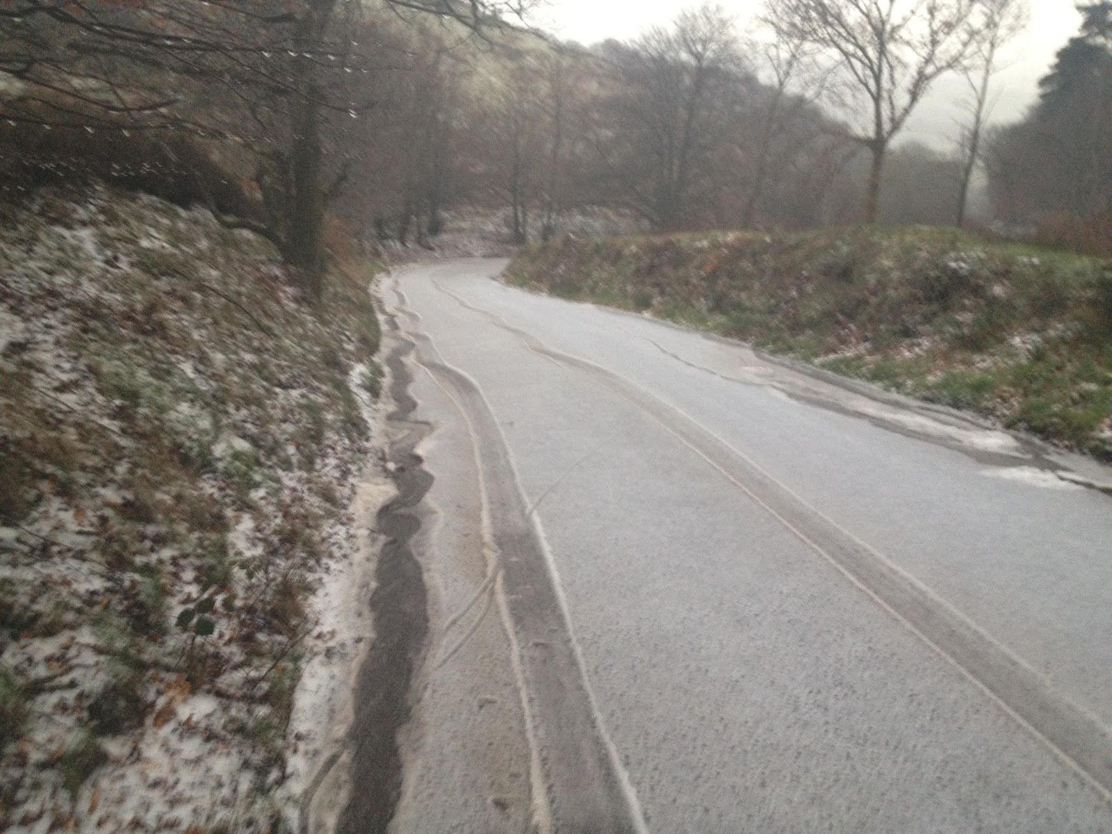
The view from the top - note the skidding tyre tracks
A brief stint of walking across the top of Quantock Common was enough for both of us to decide that the fading light and freezing temperatures were enough incentive to get back on the bikes and brave the ice. Not for the first time that day, we faced a steep and hairy descent, this time into the town of Nether Stowey. This probably wasn't helped by numb fingers, shaking limbs, and my brake-blocks being on their last legs (or, to put it more accurately, of f**k-all use!). One 'highlight' was speeding past Clive completely out of control, only for him to shout "watch out for the cattle-grid" followed by "aim for something soft". Making it down in one piece, we stumbled into the B&B to be welcomed with warm towels, a lovely rainbow (weather is always great when you're indoors) and Sally Lunn's World Famous Buns (see picture). Someone should tell Sidi to invent a 'cold finger' eject button for their shoes - those clips really aren't good when you are dexterously challenged...

P.S. Not to be defeated (and having a night to sleep on it) I decided that I would have to go back and climb Crewcombe after all. It was as hard as it looked, but it always helps forward momentum when your tyres are gripping the road properly ;)